Floods in Austria: after the drought comes the deluge
Floods in Austria: after the drought comes the deluge Floods in Austria follow drought: short rainstorms are 20% stronger than 30 years ago, yet shorter. What the TU Wien study found and how to protect your home. Topics: News, Economy, Politics.
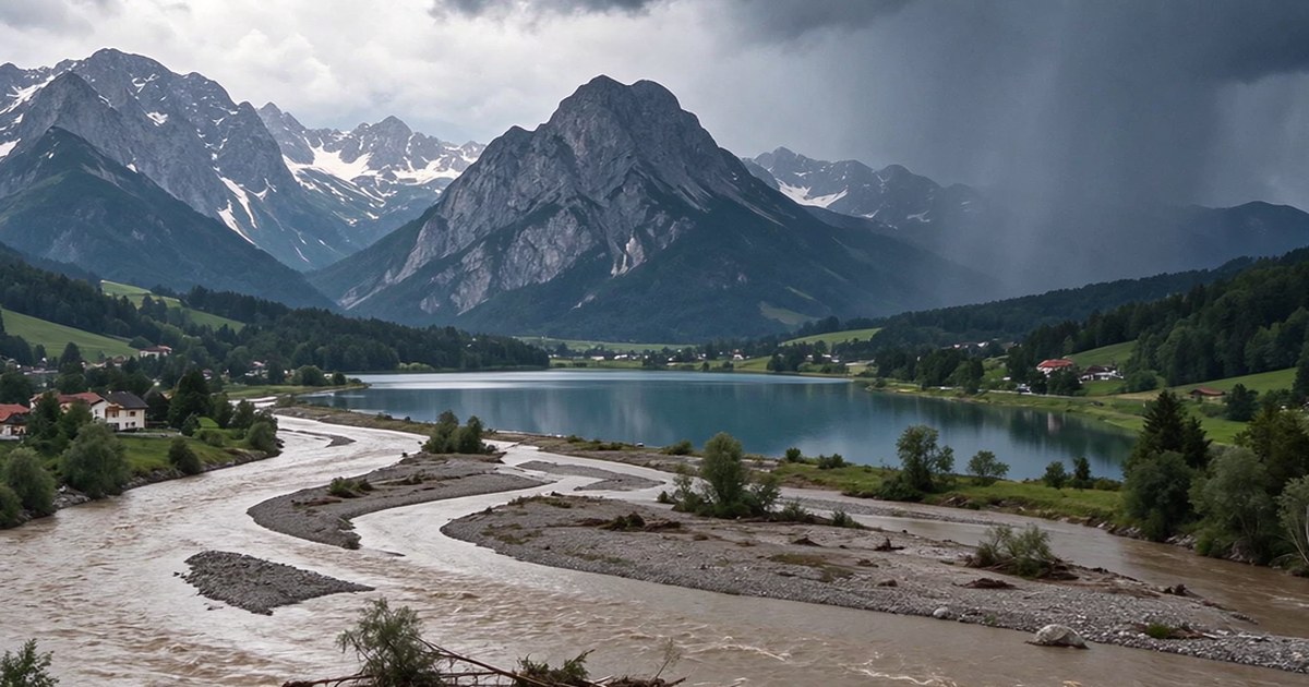
Summer 2026 was one of the harshest in recent Austrian history: drought damage to agriculture topped one billion euros, and the government rushed through a 240 million euro aid package for farmers. Autumn flipped the script. Torrential rain swept across the Alpine foothills, small rivers burst their banks, and fire brigades pumped out flooded basements. A new study called Wasser im Klimawandel (Water in a changing climate), commissioned by the Ministry of the Environment, explains these whiplash weather swings: rain in Austria now falls less often, but each event hits harder. This article walks through the study’s key numbers, explains why floods in Austria follow drought so quickly, and lists the protection measures that work today. The new logic of water matters to everyone living here, from Vienna to Innsbruck.
What the Wasser im Klimawandel study found
The Wasser im Klimawandel study, led by hydrologist Günter Blöschl’s team at TU Wien on behalf of the Ministry of the Environment, has released interim results: short local rainstorms now deliver on average 15 percent more water than they did 30 years ago. As Krone reports, the duration of individual rain events has at the same time shrunk by 10 to 15 percent. Water arrives faster and denser, and there is less and less time to warn people.
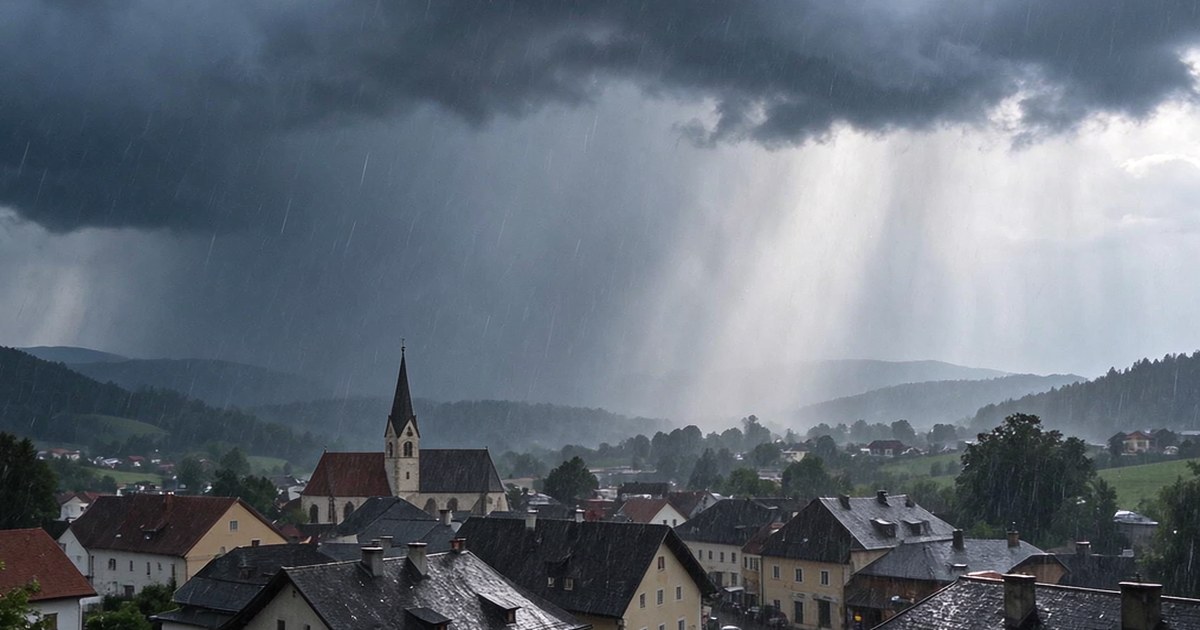
The details are even more striking. In a one-hour Starkregen (torrential downpour), rainfall has grown by roughly 20 percent. The shorter the window, the stronger the increase. Large-scale frontal rains, by contrast, have gained only about 7 percent across the country. The difference lies in the mechanism: local downpours are born from thunderstorm cells, while widespread rain comes from weather fronts.
One finding stands out most: the strongest growth in intensity is recorded at small and medium rivers. They overflow fastest after a storm, because a narrow channel simply has no room left for the incoming water.
Why floods follow drought so quickly
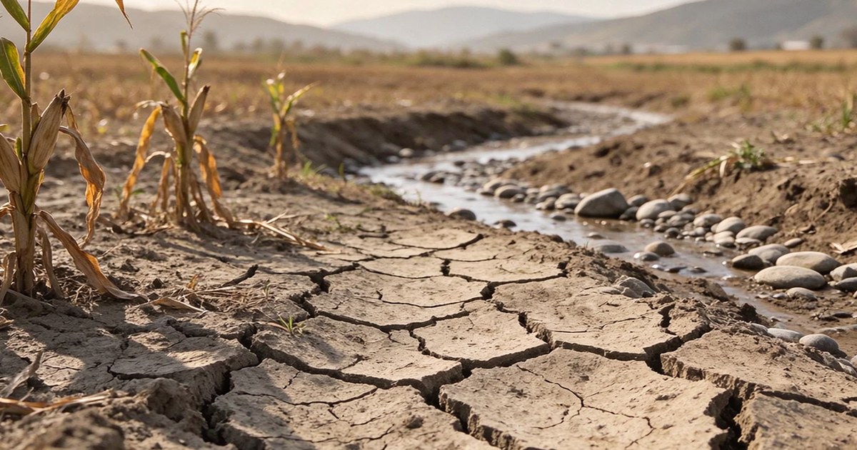
Parched soil cannot absorb water quickly. After months of heat, the ground turns into a dense, almost impermeable surface: instead of soaking in, rain instantly runs off into channels and streets. That is why even an average forecast downpour after a long drought turns into a flash flood.
Meteorology adds more. A warmer atmosphere holds more moisture, and thunderstorm cells over heated ground dump it all at once. As early as late summer, experts warned that after the extreme drought, the conditions for sudden floods in Austria were in place, as Krone noted at the time. The Mediterranean Sea stayed at record temperatures, giving every incoming front extra fuel.
Günter Blöschl, who leads the study, draws the line directly: as local downpours intensify, the probability of local flooding rises with them. According to the study, floods today develop faster than 30 years ago - leaving less time to warn people and move belongings out of harm’s way.
Pluvial flooding: water arrives far beyond the riverbanks
The main new threat researchers point to is pluvial flooding, the so-called pluviales Hochwasser. This is water that flows down streets, fields and yards far away from any river: a downpour overwhelms the drains, water pools in low spots and floods homes within minutes. Classic defences such as dams and retention basins cannot stop these events.
The scale of the risk is already measured. According to Krone, one in nine people in Austria already lives in an area at risk of flooding - and that share will grow as pluvial floods increase. The 2024 flood catastrophe in the Kamp valley of Lower Austria showed how a small river can turn into a destructive torrent within hours, hitting homes that seemed safely away from the water.
I appeal to everyone to take precautions today. Once the rain is pounding and the flood is on its way, it may already be too late.
- Norbert Totschnig, Minister of the Environment of Austria
What the state is doing and how to protect your home
The state is upgrading its protection system. Dams and retention basins remain the backbone, but as Krone reports, they are now being complemented with early warning systems, forward-looking land-use planning and nature-based solutions - restored floodplains that hold water back. The point is not to replace the old infrastructure but to adapt it to the new weather.
Personal precautions are growing in importance at the same time. Experts recommend installing Rückstauklappen (backflow valves on the sewer line), keeping valuables out of basements, securing oil tanks and storing heating pellets above any likely water line. Dietmar Fahrafellner, fire chief of Lower Austria, puts the new principle plainly: flooding has long been a danger not only for people living on a river - the rain is heavier, the flood arrives faster, and the time to act is shorter.
Timely warnings are available to everyone today. The official ZIVA app sends severe weather and river-level alerts for your place of residence - we covered it in detail in our civil protection app review. A notification that arrives two hours ahead is enough to move the car out of the underground garage and the furniture out of the basement.
Frequently Asked Questions
Are downpours a risk if I live far from a river?
Yes. Pluvial floods are growing fastest - water flows down streets far beyond any riverbank. Dams cannot stop them, so even a house on a seemingly dry slope can be hit by runoff running downhill.
Why is rain shorter but stronger now?
Thunderstorm cells release moisture in a concentrated burst, while weather fronts spread it evenly over many hours. Over 30 years, a one-hour downpour gained about 20 percent more water, while overall rain events shortened by 10 to 15 percent.
Where can I get flood warnings in Austria?
Install the official ZIVA app and enable notifications: it carries severe weather and flood warnings for your registered place of residence. Current river levels can be checked with the federal hydrographic service.
Conclusion: prepare before the rain starts
The study’s message is simple: Austrian weather has switched to a “rarer but stronger” mode, and that applies to both droughts and rain. Here is what you can do this weekend:
- check your basement: backflow valves, sealed windows, elevated storage;
- install ZIVA and turn on weather alerts;
- keep the car out of underground garages during heavy rain;
- reconsider what you store on ground and basement floors.
Drought and floods are two sides of the same process, and for Austria this is no longer an anomaly but the new normal. We covered the food-price side of the drought in our drought and nutrition article, and the harvest shortfall in our harvest report. To stay on top of news from Austria, subscribe to our newsletter.
Stay Up to Date with the Latest Austrian News
The week's top stories - news, guides, and insights about life in Austria. Every Sunday in your inbox.